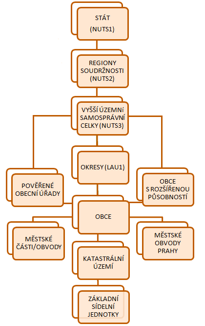
Czech Republic
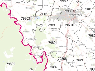
The dataset contains vector layers of administrative divisions of the Czech Republic for GIS software usage. List of levels:
- Country (NUTS 1)
- Cohesion regions (NUTS2, 8 units)
- Regions (NUTS3, 14 units)
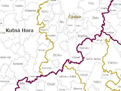
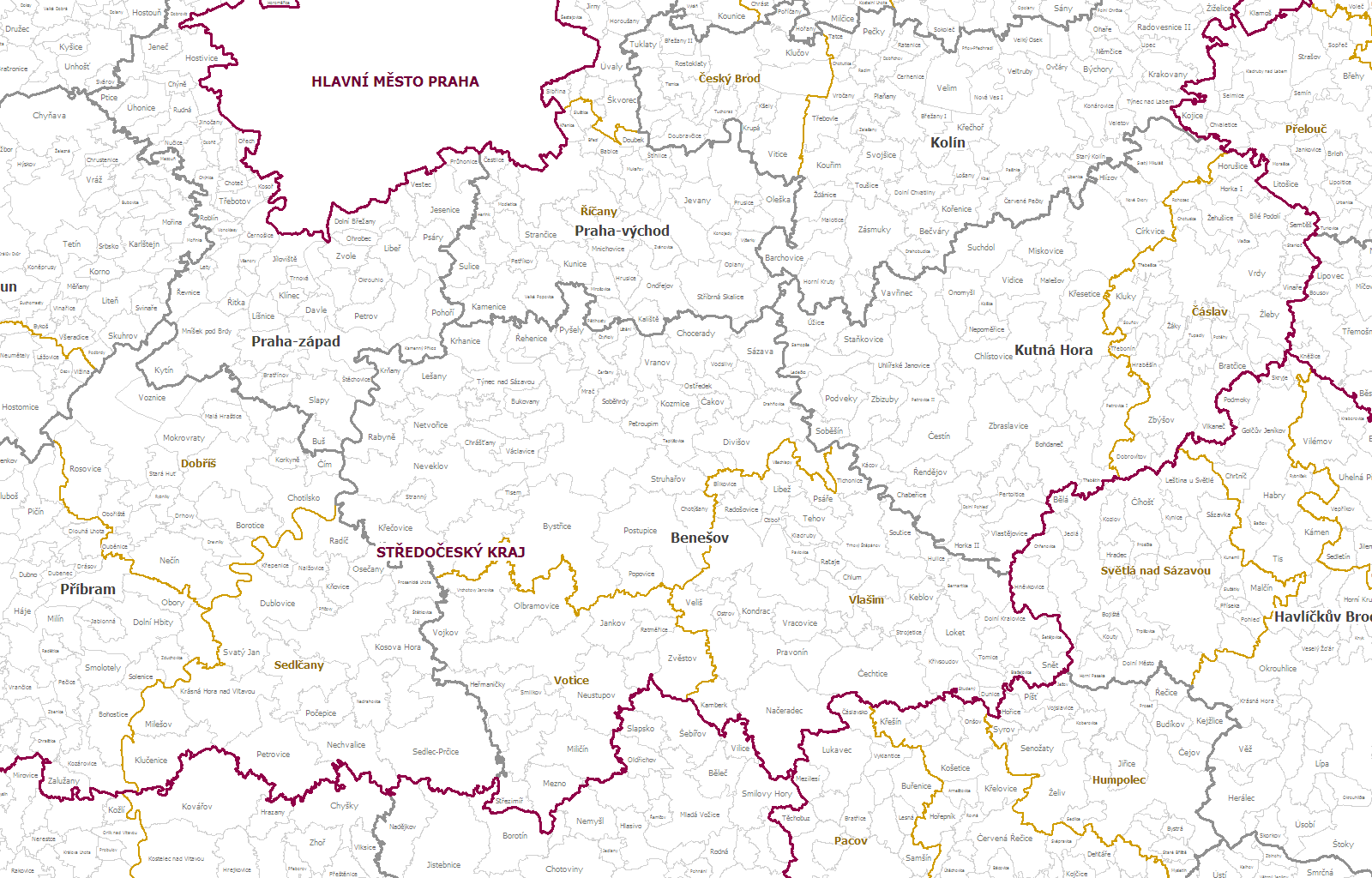
- Districts (NUTS4, 77 units)
- Municipalities with extended competency (approximately 200 units)
- Municipality with accredited office (approximately 400 units)
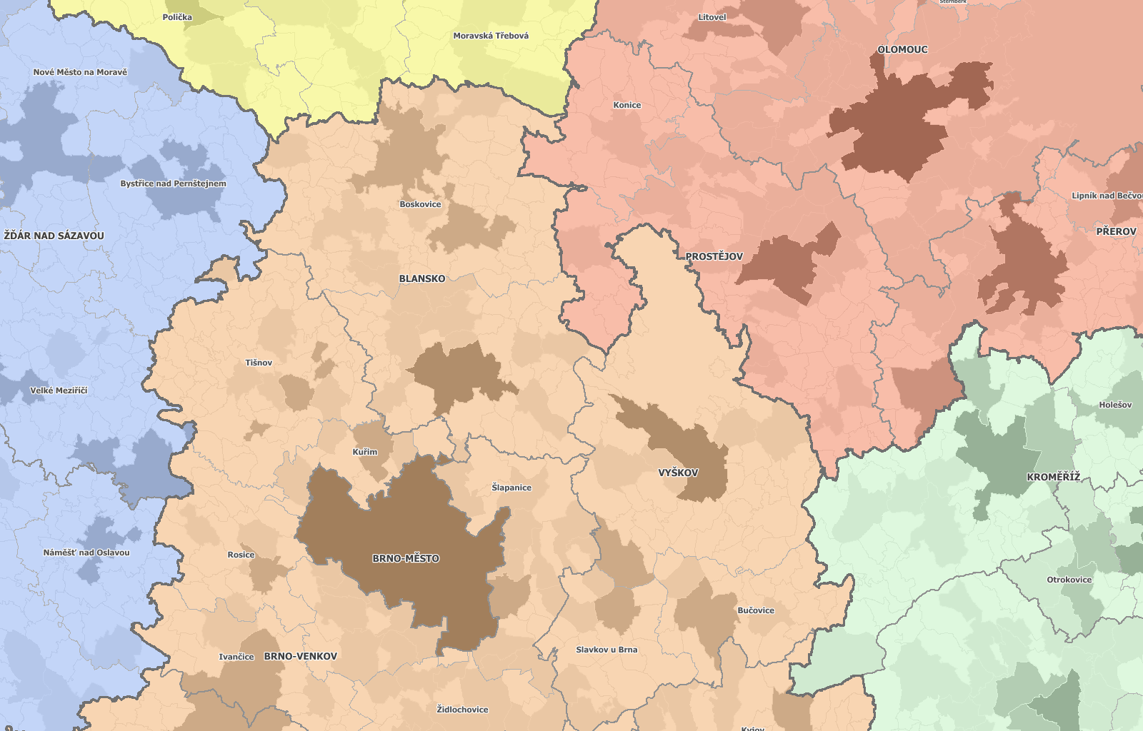
- Municipalities (approximately 6.250 units)
- City parts of bigger cities (approximately 140 units)
- Urban districts of Prague (10 units)
- Cadastral territories (approximately 13.000 units)
- Basic settlement units (approximately 22000 units)
Attributes
The layers contain the names and codes of the relevant administrative level, including codes and names of higher region levels.
Formats
MapInfo TAB with ESRI SHP. We are able to convert data to other GIS formats per request.
Coordinate systems
S-JTSK, WGS-84, with UTM
Slovakia
The dataset contains vector layers of administrative divisions of the Slovak Republic for GIS software usage. List of levels:
- Country (NUTS 1)
- Cohesion regions (NUTS 2, 4 units)
- Regions (NUTS3, 8 units)
- Districts (NUTS4, 79 units)
- Municipalities (approximately 2.930 units)
- Territorial Technical Unit (approximately 3.500 units)
- Basic settlement units (approximately 7.200 units)
Attributes
The layers contain the names and codes of the relevant administrative level, including codes and names of higher region levels. Municipalities, Territorial Technical Unit and Basic settlement units also contain region type.
Formats
MapInfo TAB with ESRI SHP. We are able to convert data to other GIS formats per request.
Coordinate Systems
S-JTSK, WGS-84 with UTM
Other countries
- Due to the extensive network of our partners abroad, we are able to provide administrative boundaries not only for the neighbouring countries, but also for a large part of the world. The level of available detail may vary for different countries.