For MapInfo Viewer
In this case, postcode map is delivered to the user in the form of a MapInfo Workspace (map composition), where the ZIP code areas are located above the base map. User can open the entire workspace in application MapInfo Viewer which is free of charge.
The advantage of this option is that the user can zoom in and out on the map, use other tools such as Info (displaying attribute data for the selected object on the map), selection tools or the Statistics tool. Another big advantage is that we can add specific layers to the map composition in agreement with the client. (eg. own regions of sales representatives, branches, customers, etc.).
MapInfo Viewer
MapInfo Viewer is a free application that allows users to work with workspaces that have been prepared using the full version of MapInfo Pro. To install MapInfo Viewer, you must sign up for a free account with Pitney Bowes.
MapInfo Viewer allows you to open and view MapInfo Workspaces (.WOR) or individual layers in MapInfo (.TAB) format. Selected analytical functions such as quering, selections, viewing attribute data (Browser) or turning layers on and off are allowed. It is possible to print and export maps and reports to PDF. It is possible to display two different map views side by side and synchronize the movement in both windows. It is also possible to copy spreadsheet data into MS Excel in a simple way (Ctrl + C> Ctrl + V).
However, users can not edit the map (no editing tools) or save changes in created workspaces. If you need to use the complete analytical and editing tools for geographic analysis of your data, you can use postcode map in the professional GIS environment MapInfo Pro, which you can learn more about
HERE, or you can
contact us.
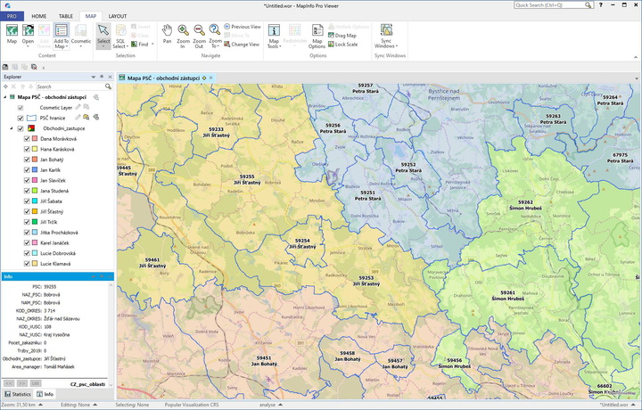
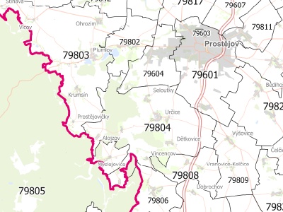
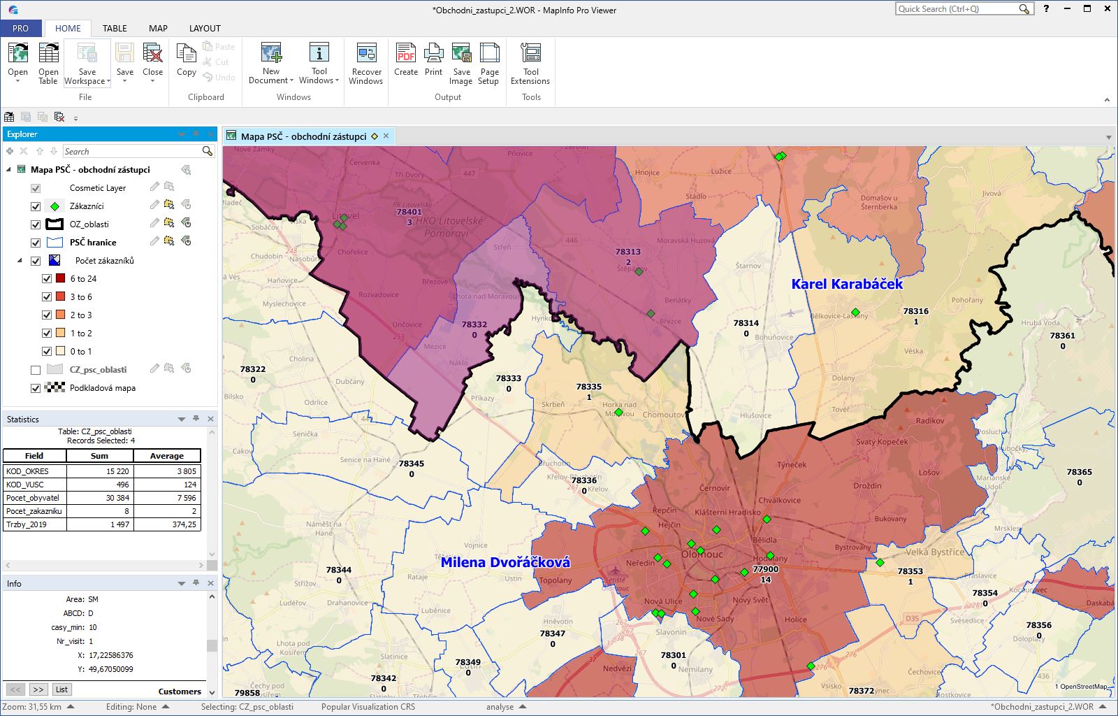
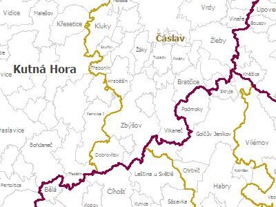
Sample of the environment: the picture shows the postcode areas colored by a sales representative in MapInfo Viewer. There is a layer control on the left and label on the map shows the zip code and the name of the sales representative.

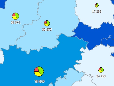
Sample of the environment: postcode areas are thematically colored and divided into categories based on the number of customers. Layer control, Info window and basic Sstatistics of selected areas is on the left. Customers are also displayed on the map with a green point.