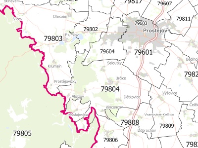
Czech Republic
Attributes (Census)
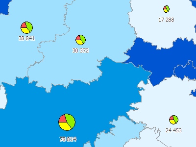
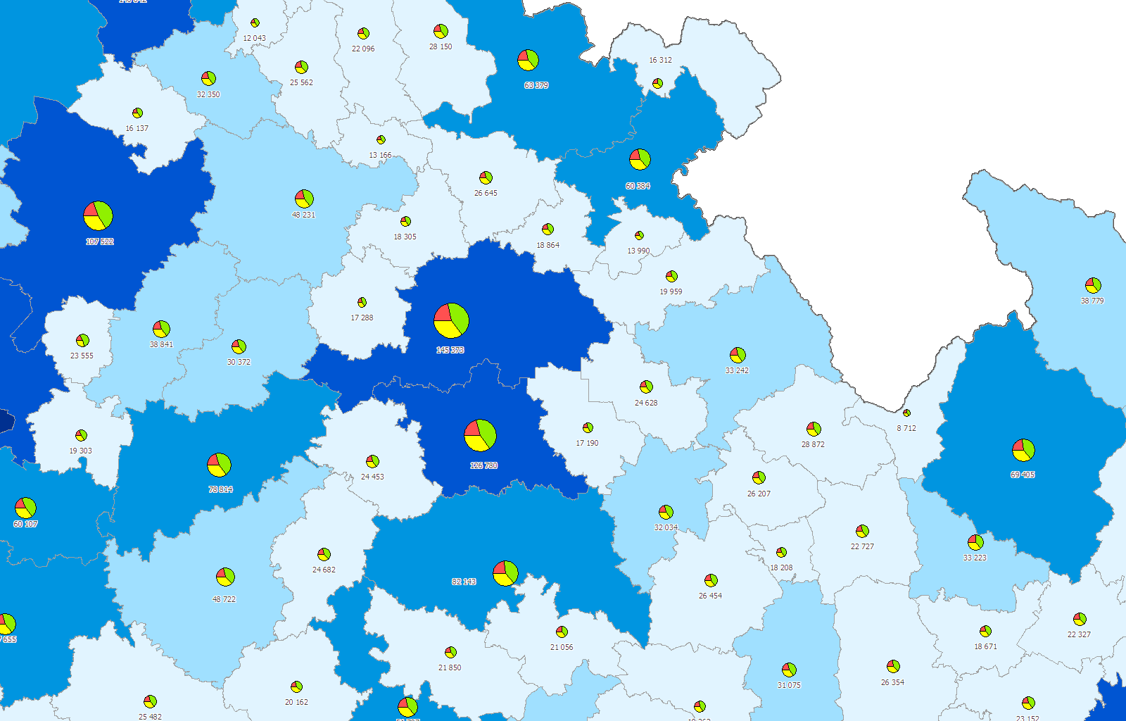
- Population
- Population according to a habitual and permanent residence.
- Citizenship - CZE, SK, other EU countries.
- Religion.
- Age structure - category male/female 0-14, 15-64, 65+, further breakdowns after fifteen-year group and five-year age groups (under 20 years more detailed breakdown).
- Marital status - single, married, divorced, widowed.
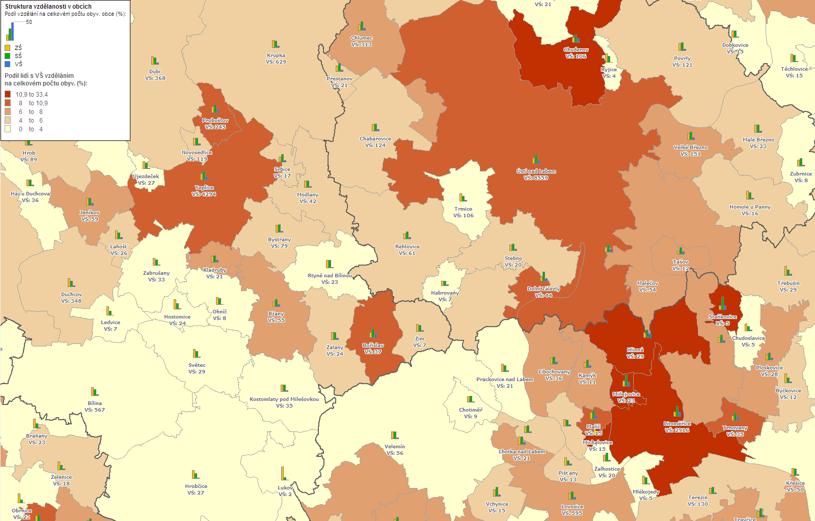
- Education - primary, secondary, secondary with GCSE, high school, university.
- Economic activity - total economically active, employed, students, women on maternity leave.
- Employment in the economic sectors - construction, industry, business.
- Commuting to work and school.
- Employment status - employees, employers, own-account workers.
- Population according to type of living - houses and flats, family houses, accommodation facilities, outside the flat.
- Houses
- The basic attributes - total number of houses, family houses, occupied houses, residential houses.
- Ownership - individual, community / state housing cooperative.
- Period of construction with reconstruction - 1919 and earlier, 2001 to 2011, the average age.
- Number of floors.
- Flats
- The basic attributes - total number of flats, occupied dwellings, flats according to inhabited space.
- Tenure status.
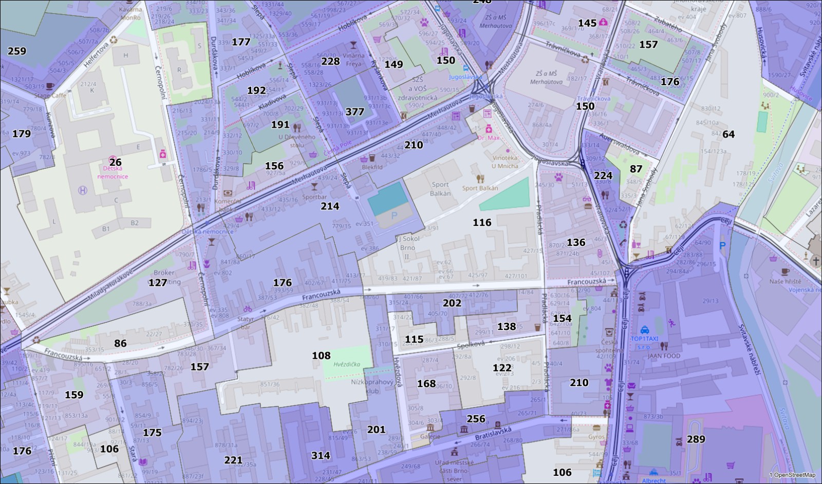
Atributy Statistické mikroregiony
- Population
- Population - number of inhabitants from Census 2001.
- Population with permanent residence - number of inhabitants according to their permament residence from Census 2001.
- Population with habitual residence - number of inhabitants accoording to their habitual residence from Census 2011.
- Registered population - number of inhabitants registered by the Ministry of the Interior valid as to 31. 12. 2012.
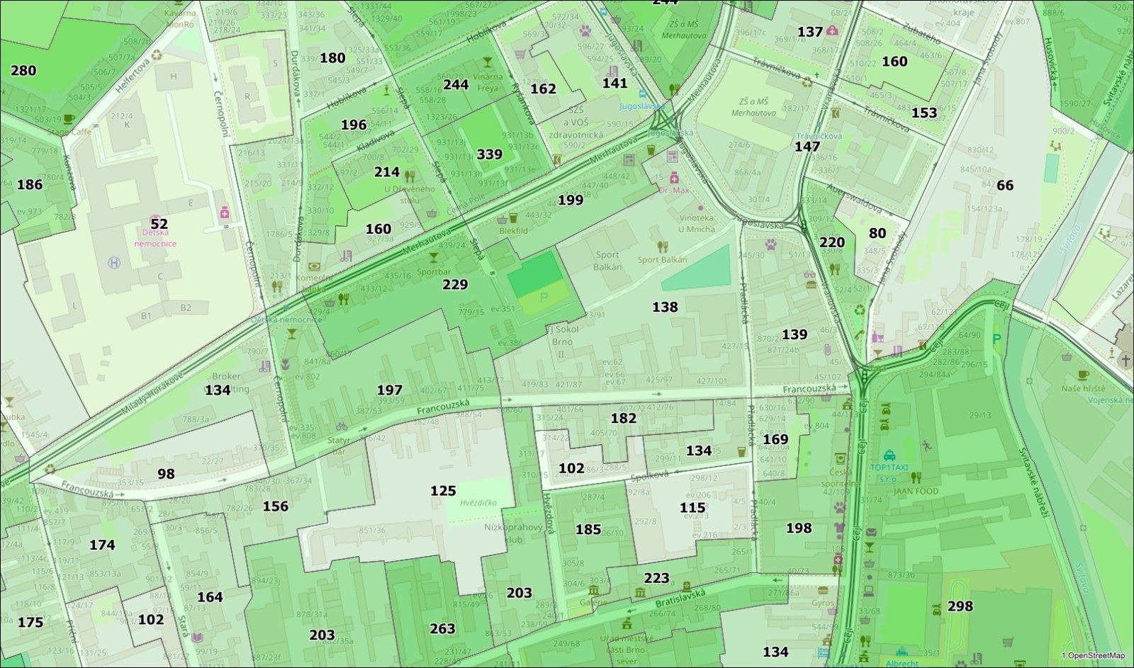
- Houses and flats
- Total addresses - total number of addresses, where one building can belong to multiple addresses (eg. large building with multiple entrances).
- Appartment buildings - number of building with multiple entrances with several flats accessible from a common hallway with stairway, not a house.
- Buildings for short-term accomodation - includes hotels, inpatient treatment facilities such as hospitals, health institutions, recreational facilities, humanitarian centers, refugee camps, hostels etc. does not include cottages.
- Buildings with house number - number of bulding with house number, does not include building with registration with replacement number.
- Building with numbers- number of buildings with house, registrarion with replacement number.
- Total flats - number of permanently inhabited flats, unhabited flats and flats temporarily released for purposes other than housing.
- Inhabited flats - number of flats where at least one person reported permanent residence.
- Individual recreation - number of recreational objects.
- Another attributes
- Predominant postal code - predominant postal code of buldings with house with registration number.
- Overlap on the territory of another municipality - due to overlaps of municipality parts on the territory of another municipality with cadastre, there is a distinstion between administrative and territorial jurisdiction of statistical microregion into basic settlement units and parent units. For this reason there is attribute filled with the value "A" and classifies statistical microregions where land territorially belongs. Statistical microregions without this value are included in municipality parts and cadastre according administrative classification.
- Registry office - belonging to the registry office.
- Building authority - belonging to the bulding authority.
- Tax office - belonging to the tax office.
Formats
MapInfo TAB with ESRI SHP. We are able to convert data to other GIS formats per request.
Coordinate systems
S-JTSK, WGS-84 with UTM
Update
Census once in 10 years, selected data (Geographical lexicon) once per year.
Slovakia
Attributes
- Population - total number of population, men, women.
- Age structure - 0-5, 6-14, 15-24, 25-39, 40-54, 55-64, 65+, division by five-year age groups (under 20 years more detailed).
- Marital status - single, married, divorced, widowed.
- Education - primary, secondary, secondary with GCSE, high school, university.
- Computer skills - working with word processing, spreadsheets, e-mail, Internet.
- Occupied houses / flats - total number, family houses, occupied dwellings.
- Equipped with computer and Internet access - occupied dwellings in family houses and occupied dwellings.
Other attributes can be provided on the basis of a specific agreement with the customer and per request.
Formats
MapInfo TAB with ESRI SHP. We are able to convert data to other GIS formats per request.
Coordinate systems
S-JTSK, WGS-84 with UTM
Update
Once in 10 years
Other countries
- Due to the extensive network of our partners abroad, we are able to provide sociodemographic data not only for the neighbouring countries, but also for a large part of the world. The level of available detail may vary for different countries.